Maps are GREAT. Online historical maps are even better
Map or you will be mapped. And so will be your past.
Maps are wonderful, and essential for freedom. “Either you will map or you will be mapped”, said geographer Bernard Nietschmann. Equally essential for freedom is knowledge of history. Maps can help you reach both goals, especially in these times when you can browse many ancient, otherwise unavailable maps online. For more on this topic, you may read “Quality Education in a digital world”. Here, instead, I have collected five concrete examples of what I mean, starting with my home town of Rome:
1: A wonderful Digital Atlas of the Roman Empire
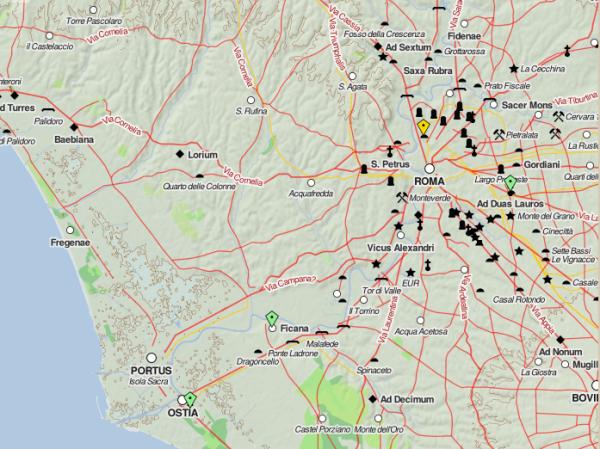
which gives plenty of information on many historical sites!
2: The 1748 Map of Rome by Giambattista Nolli
which is widely regarded “as one of the most important historical documents of the city ever created”:
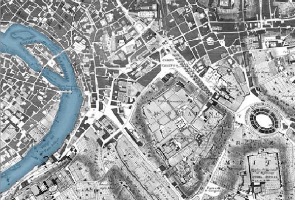
The online version shows how the Eternal City evolved over time.
3: How Medieval people saw their world
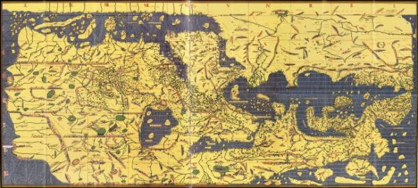
in ten maps drawn the 6th and 16th centuries.
4: America’s Path to Independence
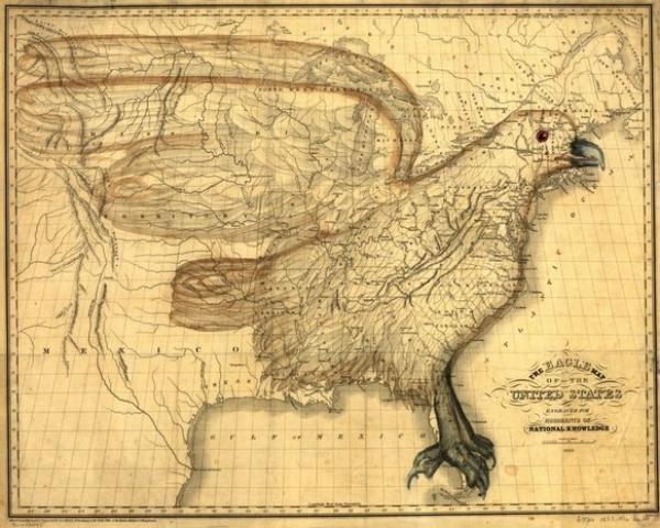
An online gallery telling with contemporary maps “the struggle to break free of british colonial rule”.
5: Every town in England and Wales. over 100 years
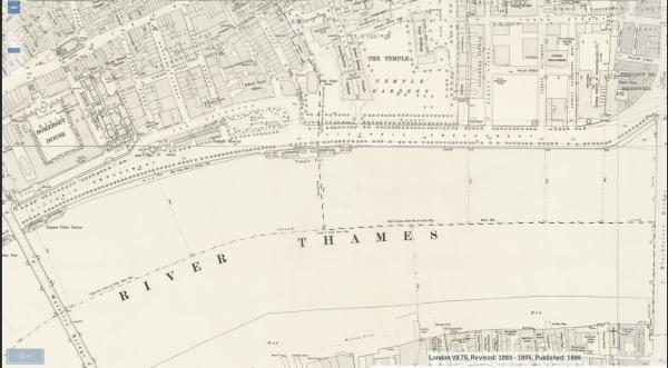
See here how every area of England and Wales developed from Victorian times to the 1950s.
Who writes this, why, and how to help
I am Marco Fioretti, tech writer and aspiring polymath doing human-digital research and popularization.
I do it because YOUR civil rights and the quality of YOUR life depend every year more on how software is used AROUND you.
To this end, I have already shared more than a million words on this blog, without any paywall or user tracking, and am sharing the next million through a newsletter, also without any paywall.
The more direct support I get, the more I can continue to inform for free parents, teachers, decision makers, and everybody else who should know more stuff like this. You can support me with paid subscriptions to my newsletter, donations via PayPal (mfioretti@nexaima.net) or LiberaPay, or in any of the other ways listed here.THANKS for your support!