Mapping catholic properties is great. It should also be open
“Then you will have OPEN maps, and they shall set you free”.
The Catholic Church has several things in common with any other public or private “federation” that has to manage more than a few acres of space. One is that it doesn’t even know exactly how much of that space is “underutilized, being used for some purpose that’s not ideal, or harming the environment; or, simply gathering dust”.
A few years ago an american cartographer named Molly Burhans stepped up to help the Catholic Church solve the first part of this problem: mapping all Catholic lands and properties, so that the Church could know exactly which resources it has already available to heal the Earth.
To this purpose, Burhans founded a nonprofit organization called Goodlands, whose purpose is exactly to mobilize the Catholic Church to use its land for environmental and social justice purposes, by (quoting from here)
“transforming the way the Catholic Church and other holders of large, non-contiguous lands are able to respond to climate change and its attendant crises, using new technology tools for informed environmental planning beyond the border of the nation-state. “
Is this happening in the most Open way?
I have been arguing for about ten years now that Catholic Social Teaching and truly open digital standards are natural travel companions
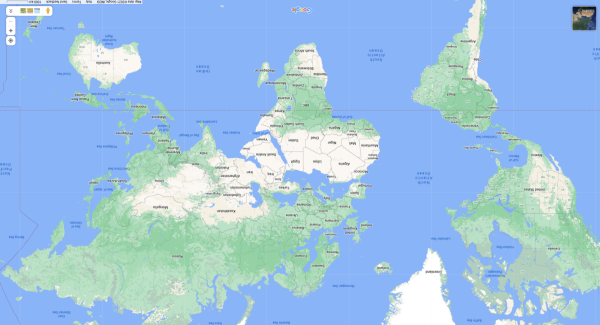
What Molly Burhans and Goodlands are doing is great and sorely overdue. However, as far as I understand, they do their job with ESRI software and geographic data, that is closed software and geographic databases. It would be useful to know why they are not using (if that is actually the case, of course) any resources or help from the OpenStreetMap project and community.
Who writes this, why, and how to help
I am Marco Fioretti, tech writer and aspiring polymath doing human-digital research and popularization.
I do it because YOUR civil rights and the quality of YOUR life depend every year more on how software is used AROUND you.
To this end, I have already shared more than a million words on this blog, without any paywall or user tracking, and am sharing the next million through a newsletter, also without any paywall.
The more direct support I get, the more I can continue to inform for free parents, teachers, decision makers, and everybody else who should know more stuff like this. You can support me with paid subscriptions to my newsletter, donations via PayPal (mfioretti@nexaima.net) or LiberaPay, or in any of the other ways listed here.THANKS for your support!